The importance of the oil industry is based on the wide range of energy resources and derived products obtained from it, such as gasoline, gas and plastics. Obtaining the raw material (hydrocarbons) for the production of these inputs and goods requires several processes, the main one being the drilling of oil fields or wells.
In general terms, this process consists of drilling a hole in the subsoil and building a metal platform to control and extract the oil until it is brought to the surface.
Although apparently simple, the truth is that behind all these activities there are a series of activities that must be carried out before starting the drilling of an oil well.
Among these activities is the measurement and study of the soil at the site where work is to be carried out, either on land or at sea, in order to have a graphic representation of the land, including the natural forms and details of the site.
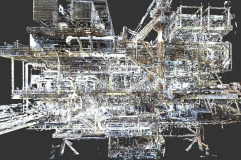
Today's technology makes it possible to obtain all this information quickly and in real time, by means of 3D laser scanning with the tracing of unidirectional parallel lines, as well as angles and three-dimensional distances covering a distance that can reach up to 1,400 meters even in adverse weather conditions.
3D laser scanning works by identifying reference points (point clouds) which is the union of all the measured positions that were worked independently but within the same coordinate system. In RIALVAS we have a wide range of services for the oil industry, among which is laser scanning with state-of-the-art equipment that provides security and confidence for processes such as well drilling.


